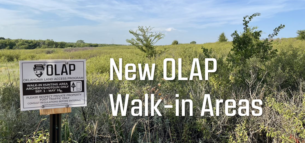
OLAP Update: 8/30/2023
Oklahoma Department of Wildlife Conservation sent this bulletin at 08/31/2023 03:02 PM CDT
|

| Stay Connected with Oklahoma Department of Wildlife Conservation: |
|
SUBSCRIBER SERVICES: Manage Subscriptions | Unsubscribe All | Help |
|
| Stay Connected with Oklahoma Department of Wildlife Conservation: |
|
SUBSCRIBER SERVICES: Manage Subscriptions | Unsubscribe All | Help |