|

Introducing the Montana State Library's 2022 Floods GIS Data Hub
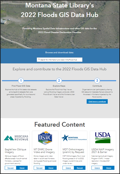
The Montana State Library is pleased to announce the release of the 2022 Floods GIS Data Hub. Find, explore, and contribute data relevant to the Montana floods. Featured content includes imagery of flood affected areas, an interactive flood data viewer, and Montana Spatial Data Infrastructure and other GIS data clipped and zipped for the approximate flood disaster area of interest along the Yellowstone River and tributaries.
Contribute Data! Do you have data relevant to the Montana floods that you would like to share? Visit the 2022 Floods GIS Data Hub and click the “Contribute” button to email the Montana State Library.
The Montana State Library serves the information needs of all branches of state government, its agencies, local counterparts, and individuals seeking information not found in their local libraries. GIS land information is a core informational need of Montana, and the State Library serves these needs with our Geographic Information Program.
|
|
|
|