|
Español | pусский | Soomaali | Amharic
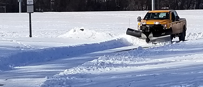
View snow removal status for North Cedar Lake Regional Trail
New this year, the City of St. Louis Park is providing an online map showing the status of snow removal on the North Cedar Lake Regional Trail. This pilot project is designed to help regular trail users make decisions about the availability of the trail for bicycling and walking following a significant snowfall. The map uses automatic vehicle locator (AVL) data from city snow removal vehicles to show where those vehicles have traveled on the North Cedar Lake Regional Trail for snow removal.
Keep in mind, the current condition of the trail will depend on snowfall amounts, timing and duration of the snowfall. While the map may show the trail has been plowed, subsequent snowfall may result in different real-time conditions.
This is a pilot project to help determine the capabilities and usefulness of providing this information to residents. It is currently only available for the North Cedar Lake Regional Trail. The results of this pilot project will help determine if it might be expanded to other trails or areas of the city.
If you use this map, we want to hear from you! Email gis@stlouispark.org with your feedback.
|