Learn more about our Office of Land Survey and Remonumentation at the Bureau of Construction Codes (BCC)!
Michigan Department of Licensing and Regulatory Affairs sent this bulletin at 08/01/2026 10:15 AM EDT
Trades Connection Digest - August 1, 2026
Why does the Office of Land Survey and Remonumentation matter?
Some jobs are endless! The Bureau’s Office of Land Survey and Remonumentation (OLSR) knows that better than most. They have spent years determining where Michigan officially begins and ends, and it turns out our 110-mile border with Indiana has been, well, a bit fuzzy for almost 200 years.
The last full survey happened in 1827, and many of the original wooden markers have long vanished. When the border itself starts playing hide-and-seek, big things can get complicated. Things like property ownership, taxes, jurisdiction, utilities, and new development all rely on precise lines. A few feet here or there can make a big difference for Michigan residents.
Curious about how a missing border becomes a real-world problem and what’s happening now to fix it? Dive into the story behind Michigan’s mysterious 110-mile line with Indiana in Michigan’s 110-mile border with Indiana is fuzzy: It isn’t a problem until it is.
Also, be sure to read more below under “An Update about the Fuzzy Michigan-Indiana Border” for more information about what the OLSR is currently working on to help re-establish the border with Indiana.
They say you should try to learn at least one new thing every day, so also check out the “Learn More about the World of Land Survey” section below for details on the extreme measures once needed to establish the border with Ohio; measures we certainly hope to avoid as we work with Indiana today.
What is the Office of Land Survey and Remonumentation?
The Office of Land Survey and Remonumentation oversees several core responsibilities that support accurate land records and boundary administration across Michigan including the administration of the Land Division Act (LDA), (Act 288 of 1967). This act requires the office to review and approve all subdivisions filed in the state prior to their submission to their respective county Register of Deeds.
A staff surveyor conducts subdivision reviews to ensure their subdivision plat meets the minimum requirements of the LDA. A second surveyor works with amended plats ordered through the circuit court. He works alongside our Assistant Attorney General to ensure full compliance with the LDA in the processing of circuit court complaints seeking to vacate, correct, or revise all or part of a subdivision plat.
The office is also responsible for the administration of the State Survey and Remonumentation Act, (Act 345 of 1990), which provides annual grant funding to each county for the perpetuation of the original government corners established and set by the United States General Land Office. These corners form the foundation for how property is laid out and described in the state of Michigan.
The original corners were set in the early through mid-1800s. It’s always exciting to see an occasional report of land surveyors locating original physical survey posts set in some cases over 200 years ago.
Our office also provides survey review and support to the Michigan State Boundary Commission, (Act 191 of 1968). This includes reviewing annexation and incorporation petitions and working closely with petitioners to guarantee all legal descriptions and survey maps are complete, accurate, and compliant.
Additionally, we administer the Michigan-Indiana State Line Remonumentation Act, (Act 67 of 2025), which will be expanded on in the next section.
A Brief Note from Nicholas Clever, the BCC Office of Land Survey and Remonumentation Director
The first statutes regulating the subdividing and platting of land were enacted under Michigan Territorial Law. The earliest that we have on file is AN ACT TO PROVIDE FOR THE RECORDING OF TOWN PLATS, enacted by Governor Lewis Cass under Michigan Territorial Laws-Volume 1, 1821. This was the foundation for what is now the Land Division Act with many iterations and rewrites in between. The state’s review and approval of subdivisions in the state of Michigan began under the Auditor General, then Treasury and then Consumer Industry Services which evolved eventually into part of Licensing and Regulatory Affairs Department (LARA). This makes for very interesting work when involving old subdivisions created under these older statutes. It's important to know what type of plat monumentation was required at the time the plat was made as well as what different types of dedicated areas such as roads and parks are on the plat and how the dedication language works legally as well as other things associated with plats at the time they were made.
The Remonumentation program, administered by the Office of Land Survey and Remonumentation is also interesting. The State Survey and Remonumentation Act was enacted as a means to provide funding through annual grants to each county for the perpetuation of their government corners.
The state is roughly 75% complete. Our office provides and oversees these grants to each of the 83 counties throughout the state.
Nicholas Clever
Land Survey and Remonumentation Director
An Update about the Fuzzy Michigan – Indiana Border
The Office of Land Survey and Remonumentation oversees the Michigan–Indiana State Line Remonumentation Act (Act 67 of 2025). That is a big title for an even bigger project! This law calls for retracing and remonumenting the mile posts and meander posts originally set along the border between Michigan and Indiana during the 1827 Kendrick Survey. To guide this work, the Act also created a Michigan-Indiana State Line Commission, which we’re actively partnering with as we move the project toward completion.
Right now, we’re working closely with the commission and the five Michigan counties (Berrien, Cass, St. Joseph, Branch, and Hillsdale) along the state line to issue grants for remonumenting the mile posts in each county. Although there have been several attempts over the past 20 years to finish this historic survey, none have crossed the finish line — yet!
This time, with clear authority from the Act, strong collaboration, and renewed momentum, we are optimistic that we will finally complete the job and bring clarity, accuracy, and stability to Michigan’s final border.
Learn More about the World of Land Survey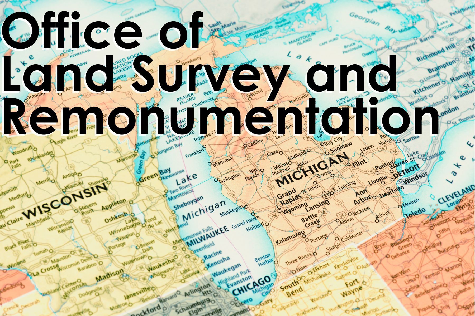
The Michigan–Indiana border may be a little uncertain these days, but our line with Ohio; that one took a war to settle. Back in 1835, the Toledo War (yes, an actual armed conflict) broke out as Michigan and Ohio fought over a 468-square-mile stretch called the Toledo Strip. This piece of land included the city of Toledo and access to the Maumee River, making it valuable territory that both sides fiercely claimed.
Things escalated quickly. Competing laws were passed, militias were mobilized, arrests were made, and shots were even fired. For a moment, it looked like the Midwest was ready for its own mini-revolution.
In 1836, Congress stepped in with a compromise. Michigan would gain statehood, but in exchange, it had to give up the Toledo Strip. In return, Michigan received the western portion of the Upper Peninsula; land that turned out to hold immense natural resources. Most Michiganders would probably agree, Michigan was the victor in this dispute as the UP is unmatched in its beauty!
The Toledo War is more than a quirky footnote in history; it’s a reminder of how accurate surveys and maps can shape borders, politics, and the everyday lives of the people who call these places home. Read more about the Toledo War on History.com.
Stay Informed by Attending a Public Board or Commission Meeting
Throughout the year, the Bureau of Construction Codes (BCC) hosts multiple occasions which allow members of the public the opportunity to participate in Michigan policy.
Boards and commissions meetings. There are 11 different boards and commissions hosted through the BCC. These meetings are open forums where public officials deliberate on matters affecting Michigan public safety, health, services, and laws. To learn more information about attending a meeting, including what topics will be address, visit the Boards and Commissions page on the BCC website.
The BCC also hosts public hearings regarding the continuing updates to Michigan building codes. These hearings offer the public the chance to review proposed changes to the state’s building code rules and include space for public comment. You can find more information about our currently open rules sets and how to attend a meeting on the BCC website.
Need More from the Bureau of Construction Codes?
BCC professionals are always looking for events to attend where they can spread awareness, teach code compliance, provide important information, or meet with members of the community.
If you would like to request training from the BCC, please complete our Presentation Request Form to let us know how we can best help you and your team.
We’re Hiring!
The Bureau of Construction Codes has over 190 employees who work to keep Michigan construction safe. If you are interested in joining the team, take a look at our open positions here!
Trades Connection is published to provide clarity, promote consistency, and enhance predictability within the construction industry. The information contained herein is strictly advisory and does not have the force or effect of law unless a statute or an administrative rule is cited. The Bureau of Construction Codes shall be held harmless for any and all damages or litigation resulting from the use of this information herein.