Traffic Alert: High Water Affecting State Highways in NE Kentucky
Heed warning signs; please do not drive thru high water
FLEMINGSBURG, Ky. (Feb. 6, 2025) – Crews throughout Kentucky Department of Highways District 9 in northeast Kentucky are responding to flash flooding and other storm-related highway impacts today. As of 1 p.m., high water is affecting or blocking travel lanes on these state highways, mostly in usual low-lying areas:
BOYD COUNTY
- KY 5 at Mile Markers 2-3 (Naples)
- KY 854 at Rush, Mile Markers 0 to 1
CARTER COUNTY
- KY 854/KY 1654 Intersection at Rush
- KY 986 Ben's Run, one mile outside of Olive Hill (receding)
- KY 1910 under interstate overpass
- Areas of KY 1662 and KY 1626 west of Olive Hill
- US 60 at KY 1704 Intersection at Olive Hill
- KY 1 South
- KY 3297
- KY 182
FLEMING COUNTY
GREENUP COUNTY
-
KY 784 (Lost Creek), from 8-10 mile marker near Kehoe
-
KY 503, from 1-2 mile marker, north of Naples near Culp Creek
-
KY 2, from 6-7 mile marker near Warnock/KY 2-KY 7 split
LEWIS COUNTY
- KY 10 (at Garrison by the Dollar General)
- KY 57
- KY 8
- KY 989 near Griffit Holler and Esculapia Hill
- KY 1306
- KY 344 about a mile toward KY 377 from the KY 59 Intersection
ROWAN COUNTY
- US 60 at Cincinnati Branch (Down to one lane)
- KY 2522 Closed at KY 2520 (Airport Road) In Farmers to US 60
- KY 1722 Closed in Farmers at JCT KY 2522 to Triplett Creek Road
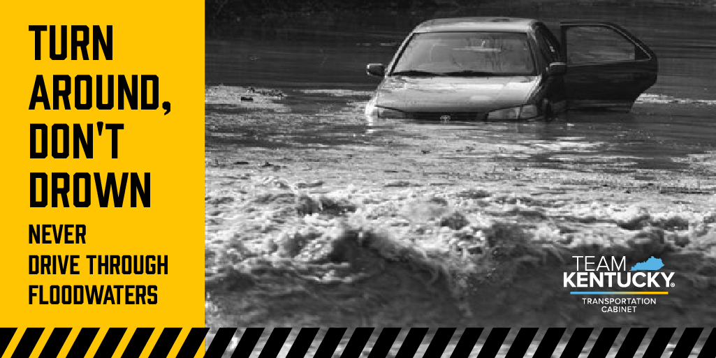
Motorists are reminded to heed all warning signs, and never drive through high water. It only takes a few inches of water to float a car. And, roadways could be damaged under floodwaters.
In addition, use caution as crews are out cleaning debris and ditchlines. Water could be ponding on travel lanes where debris has caused ditches to overflow.
For real-time traffic information, please visit GoKY.ky.gov online or use the Waze app to know before you go!
###
|