|
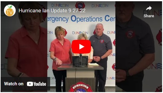
As Hurricane Ian approaches, City of Dunedin staff will continue to provide updates as we navigate the storm together. Stay Informed. Stay Safe.
For continued updates and helpful information, please visit:

- Residents are urged to continue sheltering, worst is not yet here Hurricane, storm surge and flood warnings still in effect for Pinellas County
-
Tropical storm force winds are arriving in Pinellas and not forecast to end until Thursday morning (09/29).
-
Rainfall of 6” – 10” is forecast, with localized higher amounts. Most rainfall is expected to fall today through Thursday night (09/29).
-
Storm surge flooding of 4’ – 6’ is possible along coastal areas of Pinellas County. Highest surge potential forecasted for overnight Wednesday (09/28) into Thursday (09/29).
-
Isolated tornadoes are possible through Thursday (09/29).
- As the storm moves slowly across Florida, conditions in Pinellas County are expected to worsen throughout the day, even if the storm remains to the south.
- County Information Center remains open 24 hours a day. Call (727) 464-4333.
- Residents who are deaf or hard of hearing can contact the County Information Center via online chat at www.bit.ly/PinellasChat.
- Only call 911 in the case of a police, medical or fire emergency.
- Do not walk in flood water. It only takes six inches of fast-flowing water to sweep you off your feet, and one foot of flood water can carry away cars.
- If your home experiences flooding, after the storm, take photos of your property for insurance. After the storm, begin taking steps to reduce flood damage to your home such as cleaning or removing wet items to reduce mold and contact with chemicals or sewage.
- Do not set objects of any type on the stove while the power is out.
- Keep generators in well-ventilated locations outside, away from all doors, windows and vent openings. Do not operate during high winds and rain.
- Never use a generator in an attached garage, even with the door open.
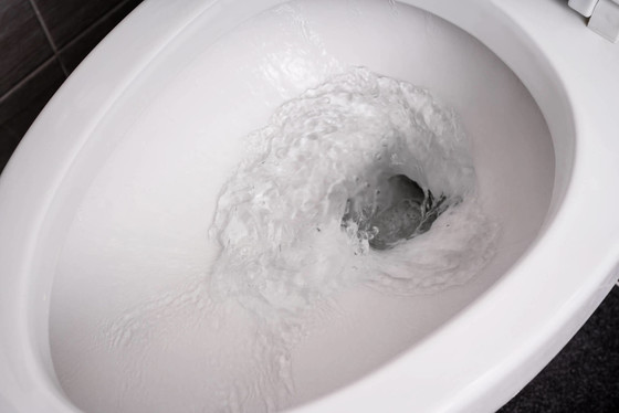
Hurricane Ian presents the potential for major flooding in the Dunedin area. Out of extreme caution, please conserve your water and wastewater/sewer use to the best of your ability. If you still have power, try not to use your dishwasher and washing machine. Also, please reduce the amount of times you flush your toilet. We ask residents to help with these measures as storm and sewer systems can get over-run with rainwater during flooding. Reducing water use can allow some space to help in our post-storm recovery.
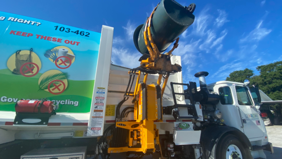
Due to Hurricane Ian all collections are suspended. Residents with Wednesday, Thursday or Friday collections must please remove all rolling carts and yard waste from the right-of-way, and store them in a safe location. Collections will resume when the streets are clear and safe to travel.
City Hall and City facilities, including the Library, remain closed to the public through Friday, September 30. View our Hurricane Website for continued updates.
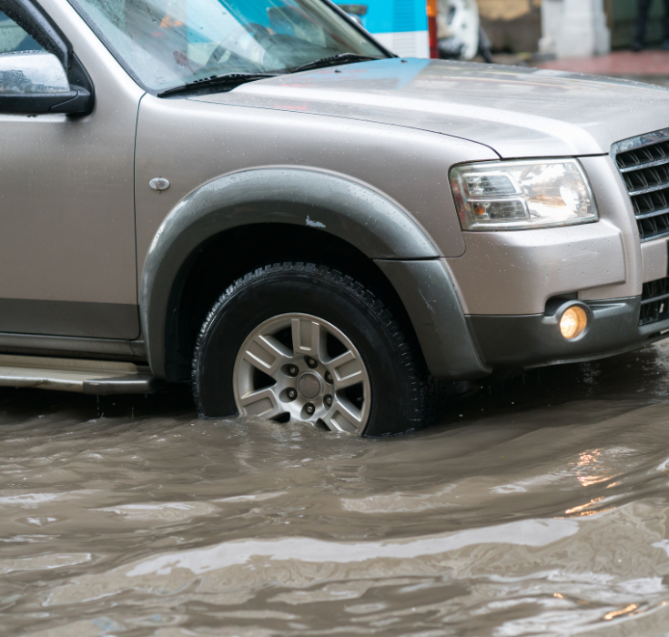
Driving through standing water can be costly and dangerous. It only takes a few inches of water to hide dangers from view, such as pot holes, washed away pavement or open manhole covers. Vehicles can be swept off the road by fast moving water even if the water is shallow. This often results in a fatality. Find an alternate route. Don’t drown-turn around!
Cars and SUVs should not be driven through still water that will reach your wheel or hubcap. If in doubt, turn around and find an alternate route. Drive through standing water slowly (less than 5 mph). As soon as the vehicle is out of the water, test the brakes as they may have become wet.
Heavy duty trucks should not be driven through standing water that will reach the wheel’s center hub. If in doubt, turn around and find an alternate route. Drive through standing water slowly (less than 5 mph). As soon as the vehicle is out of the water, test the brakes as they may have become wet.
|