|
“What if the combination is Frank’s RedHot Sauce, a chainsaw and a leather glove?” Jake Mundt, Weld County Director of Geographic Information System (GIS) and Web Development, asked as he waved a glove furiously back and forth in the air. His team laughed and agreed the combination would be perfect to neutralize a zombie.
Mundt, along with his counterparts at the University of Northern Colorado (UNC), the City of Greeley’s GIS Department and Office of Emergency Management, the Town of Windsor and Weld County’s Office of Emergency Management, gathered in the county’s Emergency Operations Center (EOC) developing platforms and ideas for students invited to participate in GIS Day. GIS Day was started 20 years ago, by Esri, to give communities a chance to see, measure and analyze geography — it’s a day to tell stories through maps.
“In recognition of National GIS Day, the Weld GIS team and I thought it would be a great idea to include the communities within Weld County in an event that showcases the technology and skill sets of our GIS team. GIS has evolved quickly over the past several years, and Weld is a leader in this space within the state,” Ryan Rose, Weld County Director of Information Technology said. “Hopefully the students are inspired to learn more about Geospatial Intelligence and go on to work in this exciting field in the future.”
Z-Day
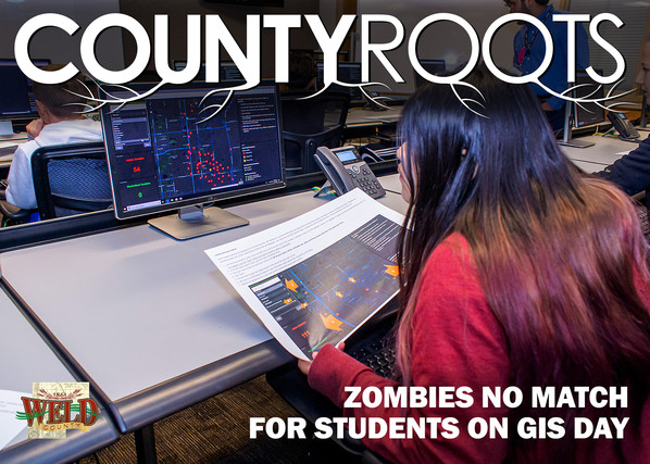
On Wednesday, November 13, GIS Day, zombies invaded Weld County. The first ones were seen in Lochbuie, Hudson and Fort Lupton before creeping toward Firestone, Frederick and Dacono. They spread north, infiltrating Platteville before oozing into Greeley, Windsor and Severance.
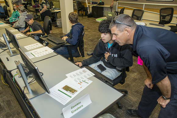
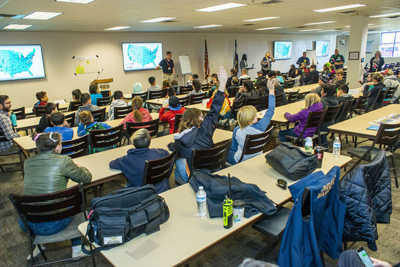
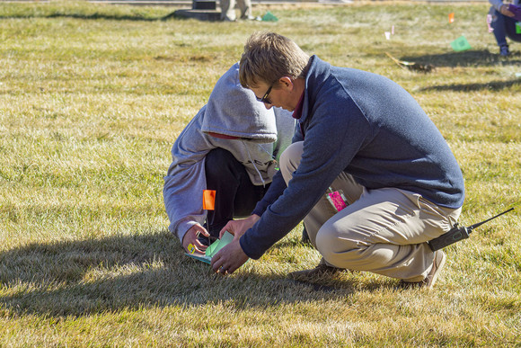
Students from Severance Middle School, Windsor Middle School, Highland High School and Fred Tjardes School of Innovation in Weld County sat in the EOC anxiously watching outbreaks develop on computer monitors. Their mission — to learn about GIS technology in a fun, engaging way that included creating zombies, analyzing patterns, collecting evidence and destroying zombies.
“We’re exposing kids to real-life applications that can be used in an emergency event,” Mundt explained. “The zombie angle makes it fun and helps them engage with these maps and technology.”
GIS is used in the problem-solving and decision-making process by visualizing data as a map. This data can be an address or coordinates containing latitude and longitude that are plugged into a web-based system. Each data point created then appears on a map.
Mundt, along with Victoria Arntsen, City of Greeley GIS Analyst, Jessica Salo, Associate Professor in UNC’s Department of Geography, GIS and Sustainability, and Scott Tometich, Town of Windsor’s GIS Coordinator, spent several weeks working together developing engaging data and maps for the kids to work with.
“We took our time thinking through how we could capture data and present that in a way kids can understand,” Arntsen said.
Salo added, “GIS Day and this event are really exciting to me – it’s a time to celebrate all great things that are GIS in nature. We get to promote the power of the technology the public relies on daily through their cell phone apps and computer websites.”
For example, during the 2013 flood, GIS helped emergency managers and responders map out evacuation points, road closures and detour routes. GIS also pulled data from the Assessor’s Property Portal map to see how many buildings were impacted by floodwaters. The GIS team also created the Weld County Public Infrastructure Map, which shows what roads are maintained by the county, which are maintained by municipalities and which belong to the state.
Hope for the future
While GIS Day was meant to be a fun exercise for students, the event organizers also hope the kids will want to work in this industry.
“We’re hoping GIS Day and this exercise got the kids thinking about this as a potential career path, because we need more people who want to work in GIS, especially when it relates to emergency management,” Salo said.
“From an emergency management aspect, we’re collecting and analyzing data using these same technologies and rooms the kids were exposed to,” Mundt explained. “These kids created, edited, collected and analyzed data using GIS, and they used it successfully – as a GIS geek, that makes me happy!”
 By Shaley Dehner, Weld County Communications Specialist
Photos by Gracie Marquez, Emergency Management Specialist
Special thanks to Distortions Unlimited for lending us a few zombies for the event!
|