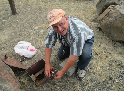
 Volpe staff conduct field testing at Lower Granite Lock and Dam, Pomeroy, WA, June 2014. (Source: Volpe)
The
U.S. Army Corps of Engineers (USACE) relies on estimates of visitation to
enhance its transportation planning process and to better allocate its limited
transportation funds. USACE sites, or “Projects,” tend to have many entry and
exit points around inland lakes and rivers, rendering the task of estimating
visitation particularly difficult. In order to simplify this process, USACE has
deployed thousands of vehicle counters, or “meters,” to capture the number of
vehicles arriving to its recreation sites.
USACE utilizes a variety of vehicle counter technologies – magnetic
loops, pneumatic tubes, and infrared meters – and each has its own unique
calibration requirements. Accuracy often depends on speed and density of
traffic, roadway configuration, and environmental conditions.
In 2015, Volpe concluded the first phase of a pilot study to
review USACE’s vehicle monitoring program, during which Volpe staff visited
Projects in each of the seven USACE Divisions, and assisted with vehicle
counter testing, calibration, and troubleshooting.
In August 2015, USACE released the “Best
Practices Guide for Selecting and Deploying Equipment to Meter Vehicular
Traffic at USACE Project Site Areas.” The Guide includes an application
matrix describing the best meter types and technologies according to varying
road typologies and conditions, traffic patterns, weather factors, and cost.
The Guide is structured so as to be applicable to all field staff regardless of
the complexity of their respective vehicle monitoring program.
Phase two of the pilot study will begin in 2016 and will
include additional site visits to refine the Guide through further testing and
the development of instructional videos. The pilot will be expanded to include
bicycle and pedestrian counters.
Project Contact: Michael Kay
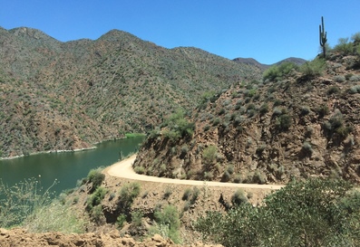 Unpaved Curve on Apache Trail, Tonto National Forest, Phoenix, AZ, July 2015. (Source: Volpe)
At
the request of the U.S. Forest Service (USFS) and the Arizona Department of
Transportation (ADOT), in July 2015 Volpe staff facilitated a Transportation
Assistance Group (TAG) site visit to the Apache Trail (Arizona State Route
88), which runs through the Tonto National Forest. In addition to Volpe, the
TAG brought together staff from USFS, ADOT, and the Federal Highway Administration
(FHWA), as well as neighboring property and business owners, to participate in
a series of meetings. The meetings were primarily listening sessions to gather
input about issues along the road and brainstorm potential solutions in a
high-level, informal way.
The Apache Trail, located on the outskirts of
Phoenix, is the sole point of access to many concession businesses, forest
trails, and lakeside recreation sites. Although the road is a state highway and
a popular recreation route, it retains much of the character and steep, windy
geometry from when it was first developed over 100 years ago. This unique
character attracts visitors and tourists to the road, but also poses challenges
for maintaining the road and ensuring traveler safety. Due to the complexity of
the road, expertise from a multidisciplinary team – environmental, engineering,
and planning professionals from the participating agencies – was considered.
In August, based on the TAG visit and discussions,
Volpe drafted a report outlining three management options. The potential
actions included different kinds of infrastructure investment (e.g., new
aggregate material), policies (e.g., limited permit system), and outreach
actions (e.g., sharing traveler information data through signs and third-party
satellite navigation aids). USFS and ADOT are reviewing the summary and will
use the recommendations to help identify management actions or areas for
further study. This is one of many TAGs that Volpe has facilitated or
participated in with public lands agency partners.
Project contact: Logan Nash
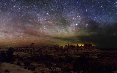 Doll House in the Maze District of Canyonlands National Park, August 2015, Photo by Dan Duriscoe. (Source: International Dark Sky Association)
The
night sky is becoming less and less visible because of “light pollution,” or
excessive and inefficient lighting that reduces the apparent brightness of the
stars. In fact, by 2000 it was estimated that 99% of the world’s skies were
light polluted (Cinzano et al. 2001).
This past September in
Fort Collins, CO, Volpe assisted the National Park Service (NPS) with
organizing and conducting research used to lead a training workshop on
minimizing the negative effects of artificial light sources in national
parks. This initiative is part of a broader effort on the part of NPS to
protect natural darkness as a precious resource, as recommended in a recent NPS
report, “A Call to Action”
(National Park System Advisory Board 2012).
An integral part of
preserving, protecting, and restoring night skies in parks is selecting,
designing, implementing, and maintaining fully sustainable lighting. The
NPS lighting roundtable training brought together an interdisciplinary panel of
experts including lighting designers, engineers, biologists, planners,
environmental advocates, resource managers, facilities-maintenance, and
public-safety professionals. More than 40 people attended the workshop. Volpe
conducted research in the following areas:
- The regulatory context for reducing lighting in the national parks;
- Intersection and
roadway design improvements that can facilitate light reduction or elimination
in national parks; and
- Opportunities for
NPS to work on a joint energy efficiency and light pollution reduction program
with the Department of Energy’s Lighting Accelerator.
The outcomes from the training
will include a list of technologies available and how effective each are at
reducing light pollution in parks and protected areas. A printed booklet
summarizing these recommendations will also be produced, and will be
disseminated as a resource for the entire agency.
Project Contact: Coralie Cooper
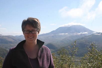 Erica Simmons at Mount St. Helens National Volcanic Monument, October 2015. (Source: Volpe)
The
Pacific Northwest Federal Lands
Collaborative Long-Range Transportation Plan (CLRTP) is the first effort to
develop a Collaborative LRTP with multiple Federal Land Management Agencies
(FLMAs) in a multi-state region in the United States. The project, led by
FHWA’s Western Federal Lands (WFL) Division Office, involves multiple FLMAs,
State Departments of Transportation (DOTs), and other partners in Oregon and
Washington. For the past two years, the Volpe Center has supported the CLRTP by
facilitating meetings, conducting research, and developing plan content. This
summer, Volpe provided an extra level of support for the CLRTP by sending a
staff member, Erica Simmons, to the Pacific Northwest to provide on-site
technical assistance.
Splitting her time between WFL
in Vancouver, WA, and the Bureau of Land Management’s (BLM) Oregon State Office
in Portland, OR, Erica’s detail lasted three months, from July to October 2015.
While there, Erica dedicated her time to several tasks, including:
-
Analyzing baseline conditions for the CLRTP’s goal areas;
- Learning from the BLM, U.S. Forest Service (USFS), and U.S. Army Corps of Engineers (USACE) about their existing planning processes and transportation systems in the region; and
- Drafting content for the multi-agency “umbrella” CLRTP and the agency-specific LRTPs for the BLM and USFS.
“Working in the two offices was very helpful,” Erica said.
“It helped me gain a deeper understanding of each agency, their missions, and
the challenges that they face with transportation planning.” Erica also got to
know some of the Federal Lands in the region, including Crater Lake National
Park, the USACE’s Bonneville Dam, Ridgefield National Wildlife Refuge, and
several BLM recreation sites and National Forests.
The Volpe Center will continue to support the CLRTP now that
Erica has returned to Massachusetts. The project is scheduled to be completed
in late 2016.
Project contact: Erica Simmons
|