|
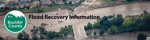
The 2013 Flood significantly changed the watersheds in all of Colorado’s flood-impacted areas, including the watersheds in Boulder County. Displacement of large amounts of sediment and relocation of stream channels due to rushing flood waters led to changes in the floodplains along Boulder County’s watersheds.
Due to flood-related changes, floodplain maps that existed prior to September 2013 are no longer as accurate as is desirable. Inaccurate and, in certain places, non-existent floodplain maps pose a threat to the health, safety, and welfare of residents because the community is not aware of the current flood risks. Without accurate floodplain maps, there is the potential for faulty planning and design with regard to emergency response, infrastructure rebuilding, and private development of homes, septic systems, and stream crossings.
In response to the watershed changes, the State legislature has allocated funds to the Colorado Water Conservation Board (CWCB) to conduct natural hazard mapping, including updating the previous floodplain maps and creating new floodplain maps where none currently exist.
The revised and new maps will identify the characteristics, including elevation and extents of a 100-year floodplain in the post-flood environment. The 100-year regulatory floodplain is based on the potential elevation and geographic limits of a flood that has a 1% chance of happening in any given year, depending on the topography at the time of the analysis. The 100-year floodplain is reflected on maps which are used for general information and as regulatory tools.
It is likely that when the floodplain maps are updated that some properties will be added to the 100-year regulatory floodplain and some will be removed. These maps will be adopted as part of the Boulder County Land Use Code.
Floodplain mapping process
Phase I of the Colorado Hazard Mapping Program is to prepare updated hazard information for the streams and creeks most affected by the 2013 Flood. This work includes field reconnaissance and land surveys, creating terrain models from updated topographic data, evaluating hydrology (water flows), and hydraulic modeling. The findings will produce floodplain limits which reflect the changed conditions.
The CWCB and its consultant AECOM are currently conducting the land surveys in stream reaches throughout the county. A map of where surveying is in progress is available at the Colorado Hazard Mapping website.
Surveyors may need to access private property to complete their analysis. If you encounter a surveyor on your property, they are instructed to provide their driver’s license or State ID along with a letter from the CWCB explaining the project.
New floodplain mapping timeline and impact
The Colorado Hazard Mapping Program is a multi-year effort. In certain reaches, drafts of new floodplain maps are expected to be available for review in the summer of 2016. There will be a public process with opportunity to review and comment on the draft floodplain maps prior to their adoption into the Land Use Code. Once adopted, the floodplain maps will be a tool for Boulder County to manage the floodplain. Boulder County will utilize the new maps in hazard mitigation and land use planning, when designing and building infrastructure, and when reviewing permit applications for development within the floodplain.
It will be several years after the initial adoption before the new floodplain mapping is reflected on the FEMA Flood Insurance Rate Maps. There will be additional public process with opportunity to review and comment on the floodplain maps prior to their adoption by FEMA. Once FEMA adopts the new floodplain maps, they will be used to determine which properties are in the 100-year floodplain and whether or not flood insurance is required.
More information
Questions about the CWCB floodplain mapping project can be directed to the Floodplain Management Program at the Boulder County Department of Transportation, at 303-441-3900, or floodplainadmin@bouldercounty.org.
Additional information about Boulder County’s Floodplain Management Program can be found on the Boulder County website.
|